
ടിൻഡ്ഫ്ജല്ലജോക്കുൾ
| Tindfjallajökull | |
|---|---|
 Tindfjallajökull | |
| ഉയരം കൂടിയ പർവതം | |
| Elevation | 1,462 m (4,797 ft) |
| Coordinates | 63°48′N 19°35′W / 63.8°N 19.58°W |
| ഭൂമിശാസ്ത്രപരമായ പ്രത്യേകതകൾ | |
| സ്ഥാനം | Iceland |
| Parent range | Mid-Atlantic Ridge |
| ഭൂവിജ്ഞാനീയം | |
| Mountain type | Stratovolcano |
| Last eruption | Possibly Holocene |
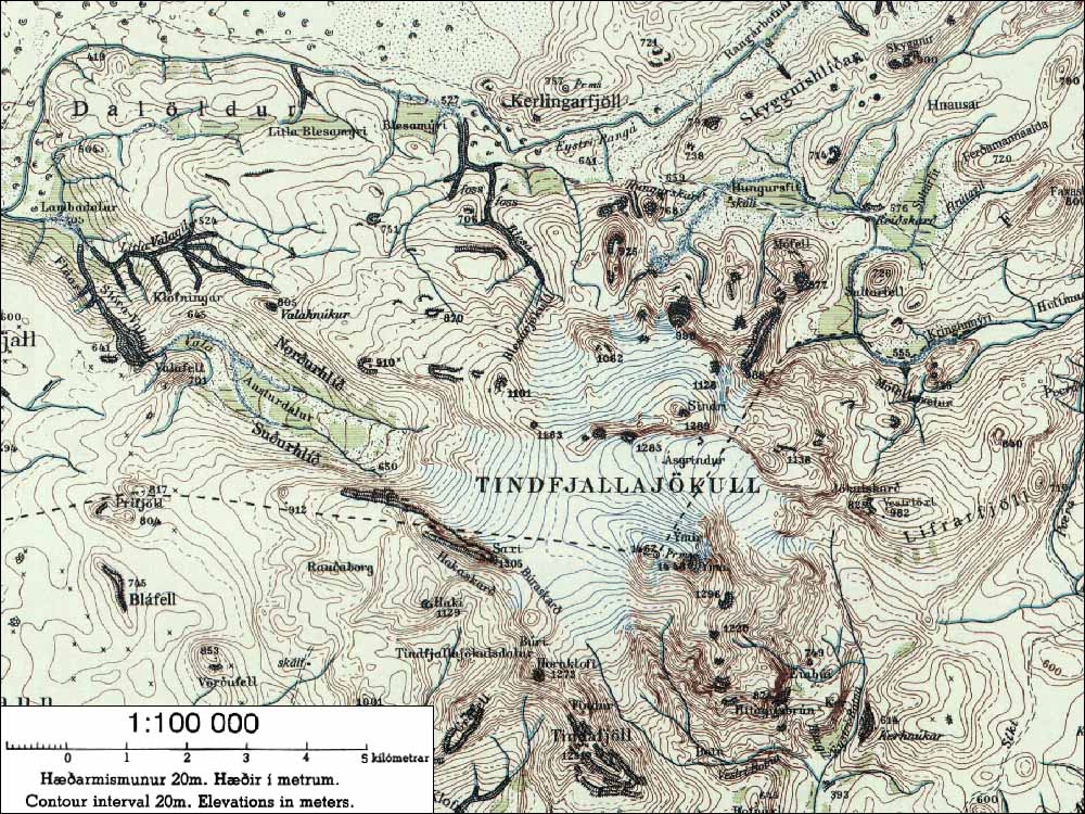
ഐസ്ലാൻഡിൽ തെക്കുഭാഗത്തുള്ള ഒരു സ്ട്രാറ്റോവോൾക്കാനോയാണ് ടിൻഡ്ഫ്ജല്ലജോക്കുൾ.[1]54,000 വർഷം പഴക്കമുള്ള Thrsmörk Ignimbrite പൊട്ടിത്തെറിയിൽ 5 കി.മീറ്റർ ദൈർഘ്യമുള്ള കാൾഡെറ രൂപവത്കരിച്ചു.19 ചതുരശ്ര കിലോമീറ്ററിലധികം ഹിമാനി ഇവിടെ ഉണ്ടാകുന്നു. [2] അതിന്റെ ഉയർന്ന കൊടുമുടി Ýmir (1462m) ആണ്. [3][4] നോർസ് പുരാണത്തിലെ ഭീമൻ İmir എന്നതിൽ നിന്നാണ് ഇതിന് ഈ പേര് ലഭിച്ചത്. ഏറ്റവും ഒടുവിലത്തെ സ്ഫോടനം ഹോളോസീനിലെ അജ്ഞാത സമയത്തായിരുന്നു [5]
ഇതും കാണുക[തിരുത്തുക]
അവലംബങ്ങൾ[തിരുത്തുക]
- ↑ "Tindfjallajökull". Global Volcanism Program. Smithsonian Institution.
- ↑ National Land Survey of Iceland (Icelandic)
- ↑ "National Land Survey of Iceland (Icelandic)". Archived from the original on 2007-04-29. Retrieved 2018-07-01.
- ↑ "nat.is - Tindfjallajökull". Archived from the original on 2012-08-28. Retrieved 2018-06-27.
- ↑ "Tindfjallajökull". Global Volcanism Program. Smithsonian Institution.
ബാഹ്യ ലിങ്കുകൾ[തിരുത്തുക]
- Tindfjallajökull Archived 2019-03-01 at the Wayback Machine. in the Catalogue of Icelandic Volcanoes
- Map of the area