
ചിംബോറാസോ അഗ്നിപർവതം
| ചിംബോറാസോ അഗ്നിപർവതം | |
|---|---|
 The summit of Chimborazo, the point on the Earth's surface that is farthest from the Earth's center.[1] | |
| ഉയരം കൂടിയ പർവതം | |
| Elevation | 6,268 m (20,564 ft) [note 1] |
| Prominence | 4,123 m (13,527 ft) [3] Ranked 17th |
| Isolation | 846 km (526 mi) |
| Listing | Country high point Ultra |
| ഭൂമിശാസ്ത്രപരമായ പ്രത്യേകതകൾ | |
 ചിംബോറാസോ അഗ്നിപർവതം | |
| State/Province | EC |
| Parent range | Andes, Cordillera Occidental |
| Topo map | IGM, CT-ÑIV-C1 [4] |
| ഭൂവിജ്ഞാനീയം | |
| Age of rock | Paleogene[5] |
| Mountain type | Stratovolcano |
| Last eruption | 550 AD ± 150 years [6] |
| Climbing | |
| Easiest route | Glacier/snow climb PD |
ഇക്വഡോറിലെ ഇപ്പോൾ സജീവമല്ലാത്ത ഒരു അഗ്നിപർവതമാണ് ചിംബോറാസോ അഗ്നിപർവതം(സ്പാനിഷ് ഉച്ചാരണം: [tʃimboˈɾaso]). ആന്തിസിലെ കോർഡില്ലേറെ ഓക്സിഡെന്റൽ നിരകളിൽ ഭൂമധ്യരേഖക്ക് സമീപമായി സ്ഥിതിചെയ്യുന്ന ഈ അഗ്നിപർവതം എ.ഡി 550-ൽ സജീവമായിരുന്നു. ചിംബോറാസോയുടെ മേലഗ്രമാണ് ഭൂമിയുടെ ഉപരിതലത്തിൽവെച്ച് കേന്ദ്രത്തിൽ നിന്നും ഉപരിതലത്തിലെ ഏറ്റവും അകലെയുള്ള ഭാഗം, ഭൂമധ്യരേഖ ഭാഗം തള്ളി നിൽക്കുന്നതാണിതിനു കാരണം. ഇക്വഡോറിലെ ഏറ്റവും ഉയരമുള്ള കൊടുമുടിയുമാണിത്.
അവലംബം[തിരുത്തുക]
- ↑ Reaching Earth´s Closest Point to the Sun
- ↑
"Ecuador, Chimborazo/Cotopaxi (copy)". Mountain INFO. High Magazine (136). 1994. Retrieved 2008-08-18.
{{cite journal}}: Unknown parameter|month=ignored (help) - ↑ "Ecuador" Ultras page. Peaklist.org. Retrieved 2012-11-06.
- ↑ "Chimborazo Ecuador, CT-ÑIV-C1". IGM (Instituto Geografico Militar, Ecuador). 1991. Archived from the original on 2012-04-25. Retrieved 2008-01-26.
- ↑ Gomez, Nelson (1994). Atlas del Ecuador. Editorial Ediguias. ISBN 9978-89-009-2.
- ↑ "Chimborazo". Global Volcanism Program. Smithsonian Institution. Retrieved 2009-01-01.
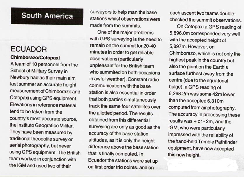
- ↑ The elevation given here was established by a differential GPS survey in 1993; see World Mountaineering in the references. The survey was carried out by a team of 10 personnel from the School of Military Survey in Newbury, United Kingdom, working in cooperation with the Ecuadorian Instituto Geografico Militar. Accuracy of ±2 m is claimed.[2] This figure is compatible with SRTM data and a more recent GPS measurement, unlike an older but still frequently given figure of 6,310 metres (20,702 ft).