പിത്തി
| Nickname: Pitti | |
|---|---|
| Geography | |
| Location | Arabian Sea |
| Coordinates | 10°46′30″N 72°32′06″E / 10.775°N 72.535°E |
| Type | Islet |
| Archipelago | Lakshadweep |
| Adjacent bodies of water | Indian Ocean |
| Total islands | 1 |
| Major islands |
|
| Area | 0.036 km2 (0.014 sq mi)[1] |
| Coastline | 0.7 km (0.43 mi) |
| Highest elevation | 2 m (7 ft) |
| Administration | |
| Territory | Union territory of Lakshadweep |
| District | Lakshadweep |
| Island group | Laccadive Islands |
| Tehsils of India | Kavaratti |
| Subdivisions of India | Kavaratti |
| Demographics | |
| Population | 0 (2014) |
| Pop. density | 0 /km2 (0 /sq mi) |
| Ethnic groups | Malayali, Mahls |
| Additional information | |
| Time zone | |
| ISO code | IN-LD-05[2] |
| Official website | www |
| Avg. summer temperature | 32.0 °C (89.6 °F) |
| Avg. winter temperature | 28.0 °C (82.4 °F) |
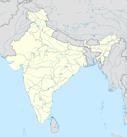
ഇന്ത്യയിലെ കേന്ദ്ര ഭരണപ്രദേശമായ ലക്ഷദ്വീപ് സമൂഹത്തിലെ ജനവാസമില്ലാത്ത ഒരു ദ്വീപ് ആണ് പിത്തി.(pakshi meaning "bird" in Malayalam, Telugu and Tamil)
ഭൂമിശാസ്ത്രം[തിരുത്തുക]
ഭരണകൂടം[തിരുത്തുക]
കവരട്ടി തെഹ്സിലിലെ കവരട്ടി ദ്വീപിന്റെ ടൗൺഷിപ്പിലാണ് ഈ ദ്വീപ്.[3]
പരാമർശങ്ങൾ[തിരുത്തുക]
- ↑ "Islandwise Area and Population – 2011 Census" (PDF). Government of Lakshadweep.
- ↑ Registration Plate Numbers added to ISO Code
- ↑ "Tehsils info" (PDF). Archived from the original (PDF) on 21 July 2011. Retrieved 29 April 2016.

