
പ്രമാണം:Lake District National Park UK relief location map.png
ഈ പ്രിവ്യൂവിന്റെ വലിപ്പം: 494 × 600 പിക്സലുകൾ. മറ്റ് റെസലൂഷനുകൾ: 198 × 240 പിക്സലുകൾ | 395 × 480 പിക്സലുകൾ | 632 × 768 പിക്സലുകൾ | 843 × 1,024 പിക്സലുകൾ | 2,001 × 2,430 പിക്സലുകൾ.
പൂർണ്ണ വലിപ്പം (2,001 × 2,430 പിക്സൽ, പ്രമാണത്തിന്റെ വലിപ്പം: 3.62 എം.ബി., മൈം തരം: image/png)
| ഈ പ്രമാണം വിക്കിമീഡിയ കോമൺസിൽ നിന്നുള്ളതാണ്. പ്രമാണത്തെക്കുറിച്ചുള്ള വിവരണം താഴെ കൊടുത്തിരിക്കുന്നു.
|
| വിവരണം |
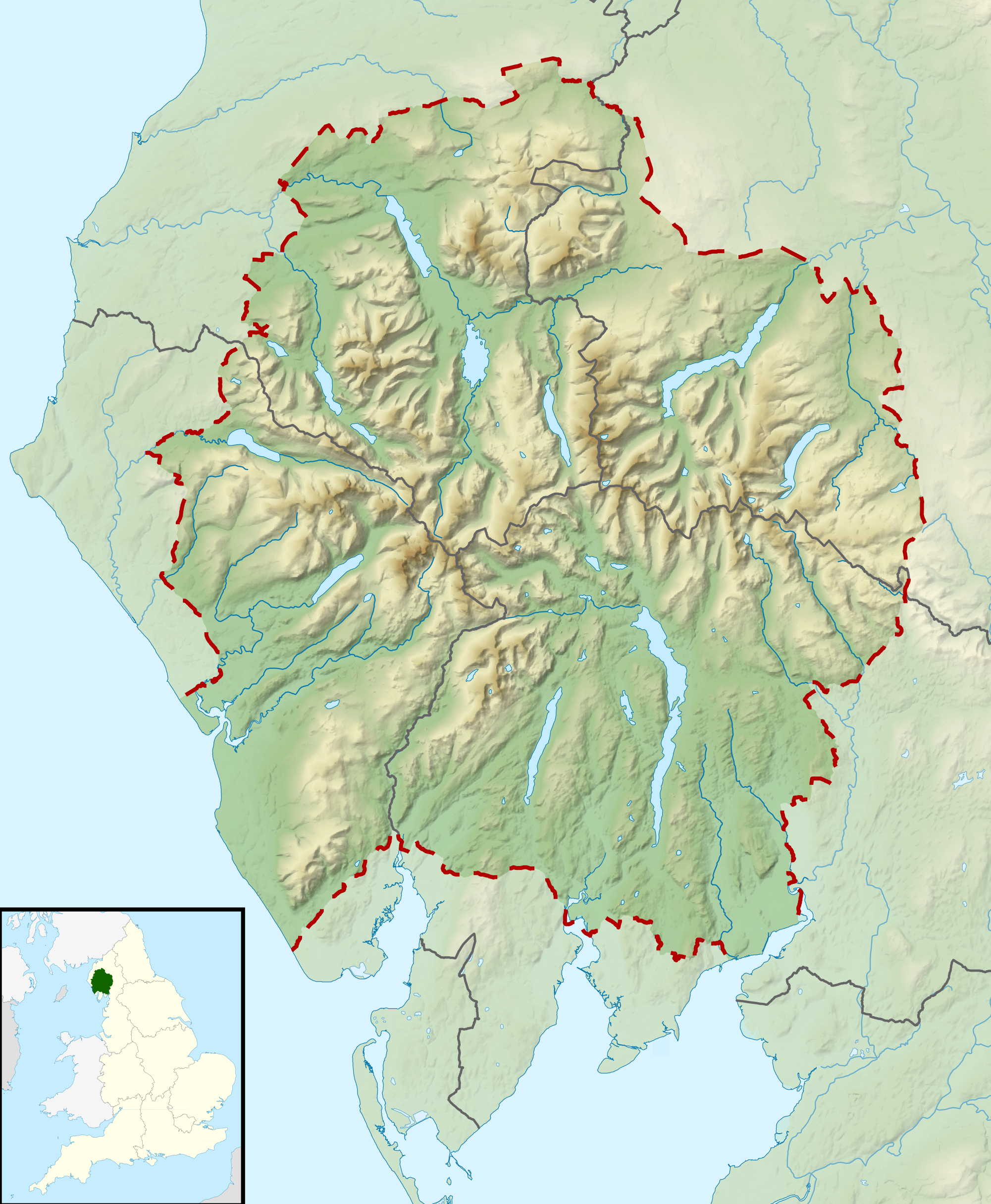
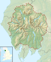
Relief map of the Lake District National Park, UK Equirectangular map projection on WGS 84 datum, with N/S stretched 170% Geographic limits:
|
| തീയതി | |
| സ്രോതസ്സ് |
Office of National Statistics Geography
|
| സ്രഷ്ടാവ് | Nilfanion, created using Ordnance Survey data |
| അനുമതി (ഈ പ്രമാണത്തിന്റെ പുനരുപയോഗം) |
ഈ പ്രമാണത്തിന് അനുമതി നൽകപ്പെട്ടിരിക്കുന്നത് ക്രിയേറ്റീവ് കോമൺസ് ആട്രിബ്യൂഷൻ-ഷെയർ എലൈക് 3.0 അൺപോർട്ടഡ് അനുവാദപത്ര പ്രകാരമാണ്. കടപ്പാട്: Contains Ordnance Survey data © Crown copyright and database right
|
പ്രമാണ നാൾവഴി
ഏതെങ്കിലും തീയതി/സമയ കണ്ണിയിൽ ഞെക്കിയാൽ പ്രസ്തുതസമയത്ത് ഈ പ്രമാണം എങ്ങനെയായിരുന്നു എന്നു കാണാം.
| തീയതി/സമയം | ലഘുചിത്രം | അളവുകൾ | ഉപയോക്താവ് | അഭിപ്രായം | |
|---|---|---|---|---|---|
| നിലവിലുള്ളത് | 10:51, 17 മാർച്ച് 2012 | | 2,001 × 2,430 (3.62 എം.ബി.) | Nilfanion | {{Information |Description=Relief map of the Lake District National Park, UK Equirectangular map projection on WGS 84 datum, with N/S stretched 170% Geographic limits: *West: 3.65W *East: 2.60W *North: 54.80N *South: 54.05N |Sourc... |
പ്രമാണത്തിന്റെ ഉപയോഗം
താഴെ കാണുന്ന 3 താളുകളിൽ ഈ ചിത്രം ഉപയോഗിക്കുന്നു:
പ്രമാണത്തിന്റെ ആഗോള ഉപയോഗം
താഴെ കൊടുത്തിരിക്കുന്ന മറ്റ് വിക്കികൾ ഈ പ്രമാണം ഉപയോഗിക്കുന്നു:
- ar.wikipedia.org സംരംഭത്തിലെ ഉപയോഗം
- ceb.wikipedia.org സംരംഭത്തിലെ ഉപയോഗം
- de.wikivoyage.org സംരംഭത്തിലെ ഉപയോഗം
- en.wikipedia.org സംരംഭത്തിലെ ഉപയോഗം
- Lake District
- Derwentwater
- Scafell Pike
- Windermere
- Coniston Water
- Scafell
- Helvellyn
- Wast Water
- Thirlmere
- Skiddaw
- List of lakes of the Lake District
- Bassenthwaite Lake
- Ullswater
- Buttermere
- Old Man of Coniston
- Dent (fell)
- Pillar (Lake District)
- Great Gable
- Bowfell
- Fairfield (Lake District)
- Great End
- Catstye Cam
- Blencathra
- Skiddaw Little Man
- Crinkle Crags
- Haweswater Reservoir
- Ennerdale Water
- Castlerigg stone circle
- Hard Knott
- Harter Fell (Eskdale)
- Whitbarrow
- Great Dodd
- High Street (Lake District)
- Pavey Ark
- Dale Head
- Robinson (Lake District)
- Place Fell
- Little Mell Fell
- Grayrigg Forest
- Hallin Fell
- Grasmoor
- Cold Pike
- Gummer's How
- Whitfell
- High Raise (Langdale)
- Kirkby Moor
- Cat Bells
ഈ പ്രമാണത്തിന്റെ കൂടുതൽ ആഗോള ഉപയോഗം കാണുക.