
പ്രമാണം:Bahamas location map.svg

ഈ SVG പ്രമാണത്തിന്റെ PNG പ്രിവ്യൂവിന്റെ വലിപ്പം: 800 × 577 പിക്സലുകൾ. മറ്റ് റെസലൂഷനുകൾ: 320 × 231 പിക്സലുകൾ | 640 × 461 പിക്സലുകൾ | 1,024 × 738 പിക്സലുകൾ | 1,280 × 923 പിക്സലുകൾ | 2,560 × 1,846 പിക്സലുകൾ | 1,559 × 1,124 പിക്സലുകൾ.
പൂർണ്ണ വലിപ്പം (എസ്.വി.ജി. പ്രമാണം, നാമമാത്രമായ 1,559 × 1,124 പിക്സലുകൾ, പ്രമാണത്തിന്റെ വലിപ്പം: 383 കെ.ബി.)
| ഈ പ്രമാണം വിക്കിമീഡിയ കോമൺസിൽ നിന്നുള്ളതാണ്. പ്രമാണത്തെക്കുറിച്ചുള്ള വിവരണം താഴെ കൊടുത്തിരിക്കുന്നു.
|
ചുരുക്കം

|
This map has been made or improved in the German Kartenwerkstatt (Map Lab). You can propose maps to improve as well.
|
അനുമതി
ഈ സൃഷ്ടിയുടെ പകർപ്പവകാശ ഉടമയായ ഞാൻ, താഴെ പറയുന്ന അനുമതികളിൽ ഈ സൃഷ്ടി ഇതിനാൽ പ്രസിദ്ധീകരിക്കുന്നു:

|
സ്വതന്ത്ര സോഫ്റ്റ്വേർ സമിതി പ്രസിദ്ധീകരിച്ചിട്ടുള്ള ഗ്നു സ്വതന്ത്ര പ്രമാണ അനുവാദപത്രം പതിപ്പ് 1.2 അല്ലെങ്കിൽ പുതിയ പതിപ്പുകൾ പ്രകാരം; മാറ്റമില്ലാത്ത ഭാഗങ്ങളില്ലാതെ, മുൻചട്ടയിലെ എഴുത്തുകൾ ഇല്ലാതെ, പിൻചട്ടയിലെ എഴുത്തുകൾ ഇല്ലാതെ പകർത്താനും, വിതരണം ചെയ്യാനും ഒപ്പം/അല്ലെങ്കിൽ ഈ പ്രമാണത്തിൽ മാറ്റം വരുത്തുവാനും ഉള്ള അവകാശങ്ങൾ നൽകുന്നു. ഗ്നു സ്വതന്ത്ര പ്രമാണ അനുവാദപത്രം എന്ന തലക്കെട്ടിൽ അനുവാദപത്രത്തിന്റെ ഒരു പകർപ്പ് ഉൾപ്പെടുത്തിയിട്ടുണ്ട്. |
ഈ പ്രമാണത്തിന് അനുമതി നൽകപ്പെട്ടിരിക്കുന്നത് ക്രിയേറ്റീവ് കോമൺസ് ആട്രിബ്യൂഷൻ-ഷെയർ എലൈക് 3.0 അൺപോർട്ടഡ് അനുവാദപത്ര പ്രകാരമാണ്.
- താങ്കൾക്കുള്ള സ്വാതന്ത്ര്യങ്ങൾ:
- പങ്ക് വെയ്ക്കൽ – കൃതി പകർത്താനും, വിതരണം ചെയ്യാനും, പ്രസരിപ്പിക്കാനും
- പുനഃമിശ്രണം ചെയ്യൽ – കൃതി അനുയുക്തമാക്കാൻ
- താഴെ പറയുന്ന ഉപാധികൾ പാലിക്കുക:
- കടപ്പാട് – രചയിതാവോ അനുമതിയുള്ളയാളോ വ്യക്തമാക്കിയിട്ടുള്ള വിധത്തിൽ കൃതിയ്ക്കുള്ള കടപ്പാട് താങ്കൾ നൽകിയിരിക്കണം. താങ്കൾക്കിത് ഏത് വിധത്തിൽ വേണമെങ്കിലും ചെയ്യാവുന്നതാണ്, പക്ഷേ അത് അവർ താങ്കളേയോ താങ്കളുടെ ഉപയോഗത്തേയോ അടിച്ചേൽപ്പിച്ചതു പോലെയാവരുത്.
- ഇതു പോലെ പങ്ക് വെയ്ക്കുക – ഈ സൃഷ്ടിയെ പുനഃമിശ്രണം ചെയ്തോ രൂപാന്തരപ്പെടുത്തിയോ അടിസ്ഥാനപ്പെടുത്തിയോ ഉണ്ടാക്കുന്നവ; താങ്കളുടെ സംഭാവനയടക്കമുള്ള സൃഷ്ടി യഥാർത്ഥ സൃഷ്ടിയുടെ അതേ അല്ലെങ്കിൽ അനുരൂപമായ ഉപയോഗാനുമതിയിൽ മാത്രമേ താങ്കൾ വിതരണം ചെയ്യാവൂ.
താങ്കൾക്ക് താങ്കളുടെ ഇച്ഛാനുസരണം അനുമതി തിരഞ്ഞെടുക്കാം.
പ്രമാണ നാൾവഴി
ഏതെങ്കിലും തീയതി/സമയ കണ്ണിയിൽ ഞെക്കിയാൽ പ്രസ്തുതസമയത്ത് ഈ പ്രമാണം എങ്ങനെയായിരുന്നു എന്നു കാണാം.
| തീയതി/സമയം | ലഘുചിത്രം | അളവുകൾ | ഉപയോക്താവ് | അഭിപ്രായം | |
|---|---|---|---|---|---|
| നിലവിലുള്ളത് | 17:31, 15 ഏപ്രിൽ 2011 | | 1,559 × 1,124 (383 കെ.ബി.) | NordNordWest | upd |
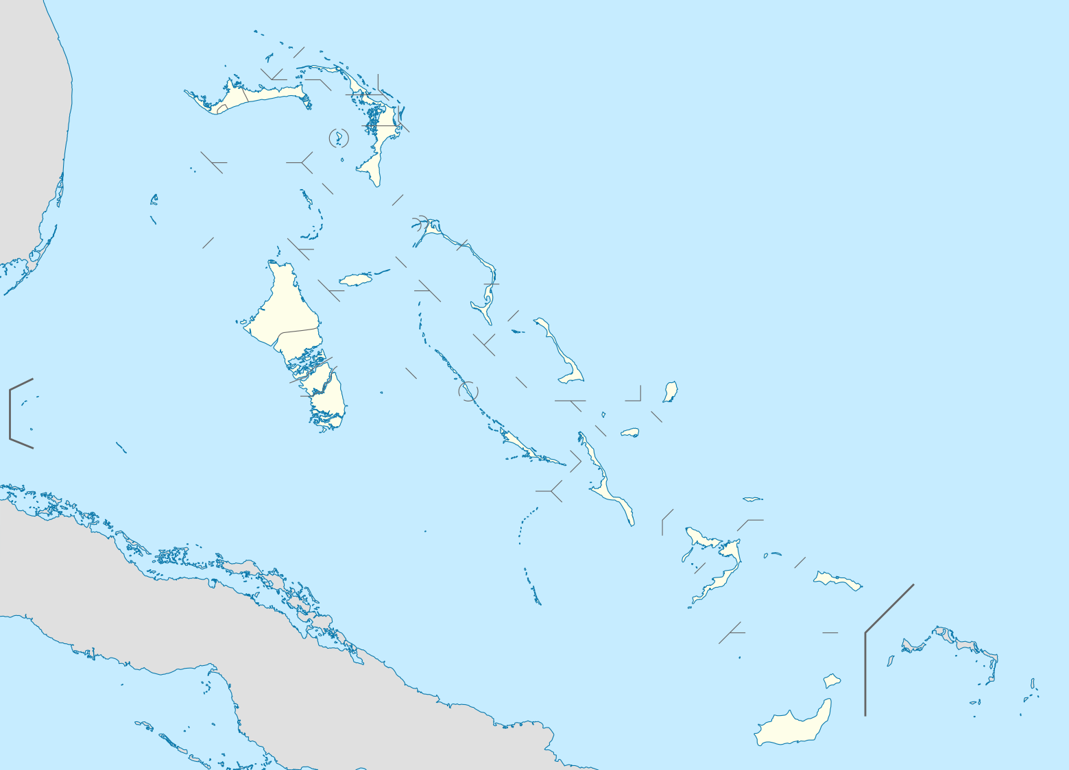
| 19:17, 23 ഒക്ടോബർ 2008 |  | 1,560 × 1,125 (549 കെ.ബി.) | NordNordWest | {{Information |Description= {{de|Positionskarte der Bahamas}} Quadratische Plattkarte, N-S-Streckung 105 %. Geographische Begrenzung der Karte: * N: 27.5° N * S: 20.7° N * W: 80.7° W * O: 70.8° W {{en|Location map of [[:en:The Bahamas| |
പ്രമാണത്തിന്റെ ഉപയോഗം
താഴെ കാണുന്ന 4 താളുകളിൽ ഈ ചിത്രം ഉപയോഗിക്കുന്നു:
പ്രമാണത്തിന്റെ ആഗോള ഉപയോഗം
താഴെ കൊടുത്തിരിക്കുന്ന മറ്റ് വിക്കികൾ ഈ പ്രമാണം ഉപയോഗിക്കുന്നു:
- af.wikipedia.org സംരംഭത്തിലെ ഉപയോഗം
- als.wikipedia.org സംരംഭത്തിലെ ഉപയോഗം
- an.wikipedia.org സംരംഭത്തിലെ ഉപയോഗം
- ar.wikipedia.org സംരംഭത്തിലെ ഉപയോഗം
- ast.wikipedia.org സംരംഭത്തിലെ ഉപയോഗം
- az.wikipedia.org സംരംഭത്തിലെ ഉപയോഗം
- ba.wikipedia.org സംരംഭത്തിലെ ഉപയോഗം
- be.wikipedia.org സംരംഭത്തിലെ ഉപയോഗം
- bg.wikipedia.org സംരംഭത്തിലെ ഉപയോഗം
- bn.wikipedia.org സംരംഭത്തിലെ ഉപയോഗം
- bs.wikipedia.org സംരംഭത്തിലെ ഉപയോഗം
- ceb.wikipedia.org സംരംഭത്തിലെ ഉപയോഗം
- Bahamas
- Plantilya:Location map Bahamas
- White Cliff
- South Point
- Pelican Point
- Palmetto Point
- Old Fort Point
- Long Island
- Long Bay
- Lobster Island
- James Point
- Hog Point
- High Point
- Goat Island
- Middle Ground
- North Point
- Castle Rock
- West Point
- West Cay
- Sandy Point
- Long Rock
- Little Island
- Black Point
- San Salvador
- North Beach
- Bell Island
ഈ പ്രമാണത്തിന്റെ കൂടുതൽ ആഗോള ഉപയോഗം കാണുക.