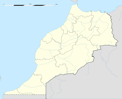
ഫലകം:Location map Morocco
| name | Morocco | |||
|---|---|---|---|---|
| border coordinates | ||||
| 36.25 | ||||
| -13.55 | ←↕→ | -0.6 | ||
| 27.3 | ||||
| map center | 31°46′30″N 7°04′30″W / 31.775°N 7.075°W | |||
| image | Morocco location map.svg
| |||

| ||||
| image1 | Morocco relief location map.jpg
| |||

| ||||
How to use an alternative map[തിരുത്തുക]
This template normally displays the map shown above as image:
- Morocco location map.svg.
The AlternativeMap parameter in Template:Location map can be used to display the following image:
- Morocco relief location map.jpg
Further instructions and examples can be found at Template:Location map#Using Alternative Map.
