
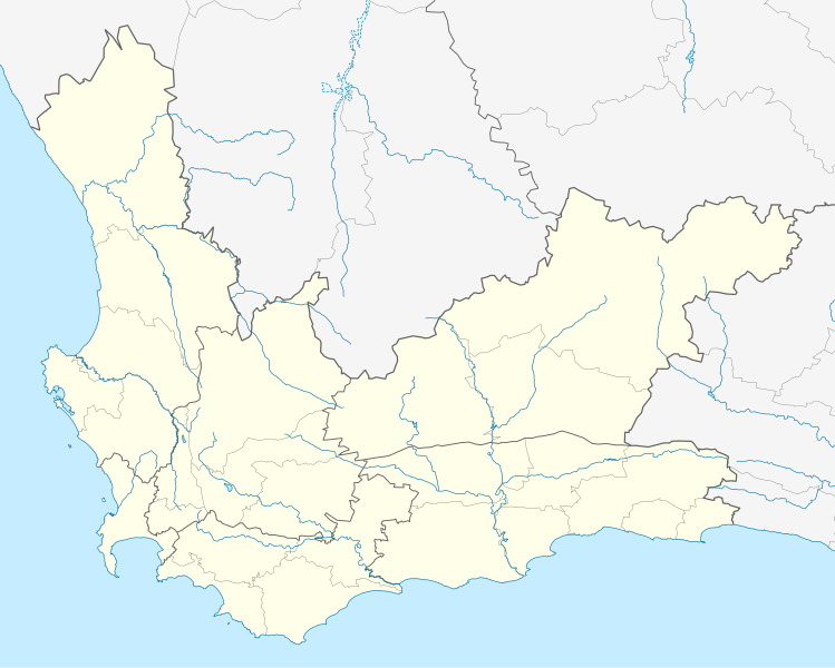
പ്രമാണം:South Africa Western Cape location map.svg

ഈ SVG പ്രമാണത്തിന്റെ PNG പ്രിവ്യൂവിന്റെ വലിപ്പം: 749 × 600 പിക്സലുകൾ. മറ്റ് റെസലൂഷനുകൾ: 300 × 240 പിക്സലുകൾ | 600 × 480 പിക്സലുകൾ | 959 × 768 പിക്സലുകൾ | 1,279 × 1,024 പിക്സലുകൾ | 2,558 × 2,048 പിക്സലുകൾ | 1,214 × 972 പിക്സലുകൾ.
പൂർണ്ണ വലിപ്പം (എസ്.വി.ജി. പ്രമാണം, നാമമാത്രമായ 1,214 × 972 പിക്സലുകൾ, പ്രമാണത്തിന്റെ വലിപ്പം: 204 കെ.ബി.)
| ഈ പ്രമാണം വിക്കിമീഡിയ കോമൺസിൽ നിന്നുള്ളതാണ്. പ്രമാണത്തെക്കുറിച്ചുള്ള വിവരണം താഴെ കൊടുത്തിരിക്കുന്നു.
|
ചുരുക്കം
| വിവരണം |
English: Location map of the Western Cape
Equirectangular projection, N/S stretching 118%. Geographic limits of the map:
|
| തീയതി | |
| സ്രോതസ്സ് |
|
| സ്രഷ്ടാവ് | Htonl |
| അനുമതി (ഈ പ്രമാണത്തിന്റെ പുനരുപയോഗം) |
ഈ സൃഷ്ടിയുടെ പകർപ്പവകാശ ഉടമയായ ഞാൻ, താഴെ പറയുന്ന അനുമതിയിൽ ഈ സൃഷ്ടി ഇതിനാൽ പ്രസിദ്ധീകരിക്കുന്നു: ഈ പ്രമാണത്തിന് അനുമതി നൽകപ്പെട്ടിരിക്കുന്നത് ക്രിയേറ്റീവ് കോമൺസ് ആട്രിബ്യൂഷൻ-ഷെയർ എലൈക് 3.0 അൺപോർട്ടഡ് അനുവാദപത്ര പ്രകാരമാണ്.
|
| മറ്റു പതിപ്പുകൾ | File:South Africa Western Cape relief location map.svg, File:Blank map of the Western Cape (2011).svg |
.svg)
പ്രമാണ നാൾവഴി
ഏതെങ്കിലും തീയതി/സമയ കണ്ണിയിൽ ഞെക്കിയാൽ പ്രസ്തുതസമയത്ത് ഈ പ്രമാണം എങ്ങനെയായിരുന്നു എന്നു കാണാം.
| തീയതി/സമയം | ലഘുചിത്രം | അളവുകൾ | ഉപയോക്താവ് | അഭിപ്രായം | |
|---|---|---|---|---|---|
| നിലവിലുള്ളത് | 19:40, 4 ജനുവരി 2013 | | 1,214 × 972 (204 കെ.ബി.) | Htonl | tweak |
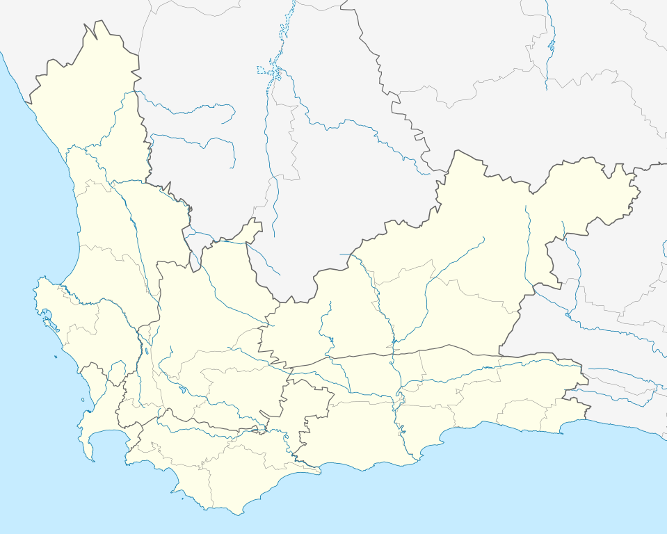
| 22:42, 3 ജനുവരി 2013 |  | 1,214 × 972 (237 കെ.ബി.) | Htonl | new version w/ vmap0-derived rivers | |
| 00:24, 13 ഡിസംബർ 2012 |  | 1,214 × 972 (202 കെ.ബി.) | Htonl | {{Information |Description ={{en|1=Location map of w:Western Cape, w:South Africa. Equirectangular projection. Geographic limits of the map: 17.5° to 24.5° E and 30.25° to 35° S.}} |Source =Own work, based on OpenStreetMap dat... |
പ്രമാണത്തിന്റെ ഉപയോഗം
താഴെ കാണുന്ന 4 താളുകളിൽ ഈ ചിത്രം ഉപയോഗിക്കുന്നു:
പ്രമാണത്തിന്റെ ആഗോള ഉപയോഗം
താഴെ കൊടുത്തിരിക്കുന്ന മറ്റ് വിക്കികൾ ഈ പ്രമാണം ഉപയോഗിക്കുന്നു:
- af.wikipedia.org സംരംഭത്തിലെ ഉപയോഗം
- Kaapstad
- Heidelberg, Wes-Kaap
- Sedgefield
- Knysna
- Stellenbosch
- Robbeneiland
- Beaufort-Wes
- Genadendal
- George
- Paarl
- Swellendam
- Tulbagh
- Touwsrivier
- Mamre
- Franschhoek
- Plettenbergbaai
- Gordonsbaai
- Wellington, Wes-Kaap
- Bellville
- Durbanville
- Mosselbaai
- Atlantis, Wes-Kaap
- Malmesbury, Wes-Kaap
- Paternoster
- Hopefield
- Vredenburg
- Saldanha
- Langebaan
- Velddrif
- Jacobsbaai
- Laingsburg
- Kleinmond
- Matjiesfontein
- Simonstad
- Grabouw
- Moorreesburg
- Robertson
- Houtbaai
- Oudtshoorn
- Bredasdorp
- Distrik Ses
- Elim, Wes-Kaap
- Wupperthal
- Darling, Wes-Kaap
- Suurbraak
- Barrydale
- Napier
- Dysselsdorp
- Zoar, Wes-Kaap
- Piketberg
ഈ പ്രമാണത്തിന്റെ കൂടുതൽ ആഗോള ഉപയോഗം കാണുക.