
പ്രമാണം:Jharkhand locator map.svg

പൂർണ്ണ വലിപ്പം (എസ്.വി.ജി. പ്രമാണം, നാമമാത്രമായ 1,614 × 1,915 പിക്സലുകൾ, പ്രമാണത്തിന്റെ വലിപ്പം: 231 കെ.ബി.)
| ഈ പ്രമാണം വിക്കിമീഡിയ കോമൺസിൽ നിന്നുള്ളതാണ്. പ്രമാണത്തെക്കുറിച്ചുള്ള വിവരണം താഴെ കൊടുത്തിരിക്കുന്നു.
|
| തലക്കെട്ട് |
Jharkhand locator map |
||
| Description |
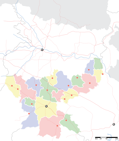
Locator map for the Indian state of w:Jharkhand. Equirectangular projection. Geographic limits of the map: top=27.561, bottom=21.92, left=83.25, right=88.52. |
||
| തീയതി | |||
| സ്രോതസ്സ് |
സ്വന്തം സൃഷ്ടി |
||
| സ്രഷ്ടാവ് |
|
||
| അനുമതി (ഈ പ്രമാണത്തിന്റെ പുനരുപയോഗം) |
ഈ സൃഷ്ടിയുടെ പകർപ്പവകാശ ഉടമയായ ഞാൻ, താഴെ പറയുന്ന അനുമതിയിൽ ഈ സൃഷ്ടി ഇതിനാൽ പ്രസിദ്ധീകരിക്കുന്നു: ഈ പ്രമാണത്തിന് അനുമതി നൽകപ്പെട്ടിരിക്കുന്നത് ക്രിയേറ്റീവ് കോമൺസ് ആട്രിബ്യൂഷൻ-ഷെയർ എലൈക് 3.0 അൺപോർട്ടഡ് അനുവാദപത്ര പ്രകാരമാണ്.
|
||
| Geotemporal data | |||
| Date depicted | 20-ആം നൂറ്റാണ്ട് രണ്ടാം പകുതി ഒപ്പം 21-ആം നൂറ്റാണ്ട് | ||
| Georeferencing | If inappropriate please set warp_status = skip to hide. | ||
| Archival data | |||
| കുറിപ്പുകൾ | Part of WikiProject India Maps | ||
പ്രമാണ നാൾവഴി
ഏതെങ്കിലും തീയതി/സമയ കണ്ണിയിൽ ഞെക്കിയാൽ പ്രസ്തുതസമയത്ത് ഈ പ്രമാണം എങ്ങനെയായിരുന്നു എന്നു കാണാം.
| തീയതി/സമയം | ലഘുചിത്രം | അളവുകൾ | ഉപയോക്താവ് | അഭിപ്രായം | |
|---|---|---|---|---|---|
| നിലവിലുള്ളത് | 06:46, 7 സെപ്റ്റംബർ 2008 | | 1,614 × 1,915 (231 കെ.ബി.) | Planemad | |
| 20:18, 6 സെപ്റ്റംബർ 2008 |  | 1,614 × 1,915 (183 കെ.ബി.) | Planemad | {{Information |Description={{en|1=a}} |Source=Own work by uploader |Author=PlaneMad |Date= |Permission= |other_versions= }} <!--{{ImageUpload|full}}--> |
പ്രമാണത്തിന്റെ ഉപയോഗം
ഈ പ്രമാണം വിക്കിയിലെ താളുകളിലൊന്നിലും ഉപയോഗിക്കുന്നില്ല.
പ്രമാണത്തിന്റെ ആഗോള ഉപയോഗം
താഴെ കൊടുത്തിരിക്കുന്ന മറ്റ് വിക്കികൾ ഈ പ്രമാണം ഉപയോഗിക്കുന്നു:
- ar.wikipedia.org സംരംഭത്തിലെ ഉപയോഗം
- ast.wikipedia.org സംരംഭത്തിലെ ഉപയോഗം
- as.wikipedia.org സംരംഭത്തിലെ ഉപയോഗം
- awa.wikipedia.org സംരംഭത്തിലെ ഉപയോഗം
- ba.wikipedia.org സംരംഭത്തിലെ ഉപയോഗം
- bh.wikipedia.org സംരംഭത്തിലെ ഉപയോഗം
- bn.wikipedia.org സംരംഭത്തിലെ ഉപയോഗം
- রাঁচি
- সম্মেদ শিখর
- টেমপ্লেট:অবস্থান মানচিত্র ভারত ঝাড়খণ্ড
- ঘাটশিলা
- রাজমহল
- নেতারহাট
- মুরি
- বোকারো স্টিল সিটি
- জামতাড়া
- সোনারী বিমানবন্দর
- চাইবাসা
- চক্রধরপুর
- সাহেবগঞ্জ
- রাজমহল কয়লা খনি অঞ্চল
- বোকারো বিমানবন্দর
- পাঞ্চেত বাঁধ
- ব্যবহারকারী:খাঁ শুভেন্দু/রাঁচি
- সরাইকেল্লা
- দেওঘর বিমানবন্দর
- গিরিডি
- দুগদা
- মেদিনীনগর
- দুমকা
- রাঁচি জংশন রেলওয়ে স্টেশন
- হাজারিবাগ টাউন রেলওয়ে স্টেশন
- ধলভূমগড়
- ধলভূমগড় ব্লক
- জগন্নাথ মন্দির, রাঁচি
- bo.wikipedia.org സംരംഭത്തിലെ ഉപയോഗം
- ceb.wikipedia.org സംരംഭത്തിലെ ഉപയോഗം
- de.wikipedia.org സംരംഭത്തിലെ ഉപയോഗം
- fa.wikipedia.org സംരംഭത്തിലെ ഉപയോഗം
- hi.wikipedia.org സംരംഭത്തിലെ ഉപയോഗം
ഈ പ്രമാണത്തിന്റെ കൂടുതൽ ആഗോള ഉപയോഗം കാണുക.