കിയുങ്ക മറൈൻ ദേശീയ റിസർവ്വ്
| കിയുങ്ക മറൈൻ ദേശീയ റിസർവ്വ് | |
|---|---|
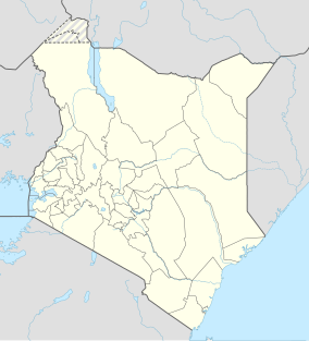
Map of Kenya | |
| Location | Lamu District, Coast Province, Kenya |
| Coordinates | 1°55′19″S 41°21′14″E / 1.922°S 41.354°E[1] |
| Area | 270 km2 (100 sq mi) |
| Established | 1979 |
| Governing body | Kenya Wildlife Service |
| www | |
കിയുങ്ക മറൈൻ നാഷണൽ റിസർവ്, കെനിയയിലെ തീരപ്രദേശ പ്രവിശ്യയിൽ, ലാമു ജില്ലയിലെ ഇന്ത്യൻ മഹാസമുദ്ര തീരത്തിനടുത്തു സ്ഥിതിചെയ്യുന്ന ഒരു ദേശീയോദ്യാനമാണ്. ഈ ദേശീയ റിസർവ്വിൻറെ ആകെ വിസ്തീർണ്ണം 270 ചതുരശ്ര കിലോമീറ്റർ (100 ചതുരശ്ര മൈൽ) ആണ്.[2]
ലാമു ദ്വീപസമൂഹത്തിലെ ഏകദേശം 50 ദ്വീപുകളും പവിഴപ്പുറ്റുകളും ഈ ദേശീയോദ്യാനത്തിൽ ഉൾപ്പെട്ടിരിക്കുന്നു. ബോണി, ഡൊഡോറി ദേശീയ റിസർവ്വുകൾ ഇതിന് അതിരുകളായിവരുന്നു.
അവലംബം[തിരുത്തുക]
- ↑ "Kiunga Marine National Reserve". protectedplanet.net. Archived from the original on 2013-04-01. Retrieved 2017-06-20.
- ↑ "Kenya Wildlife Service – Kiunga National Marine Reserve". Archived from the original on 2015-06-26. Retrieved 2017-06-20.

